Types of Surveyors
Forensic Surveyor & Expert Witness Specialist
Many surveying careers serve to uphold and enforce federal, state, and local laws. Surveyors not only help settle boundary disputes, but they can also provide research on industrial accidents and other cases requiring math and technology expertise.
As expert witnesses, Forensic Surveyors typically require bachelor’s degrees and a strong ability to communicate technical information. They must be precise in their findings and ready to back up any evidence questioned by Forensic Surveyors working for the opposing side.
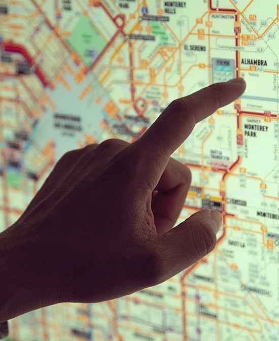
Construction Surveyor
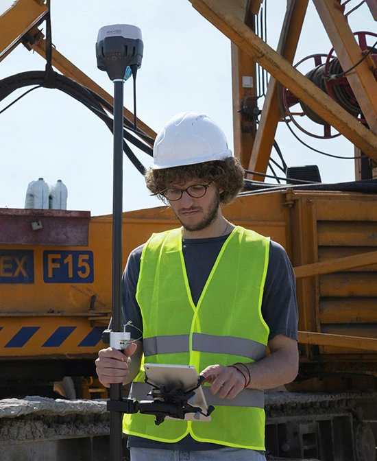
Every construction project needs surveying, whether building projects we see, such as houses and bridges, or less noticeable undertakings like pipelines and utility networks. The work of a Construction Surveyor is essential.
The job of a Construction Surveyor requires taking precise measurements above and below ground and then sharing that information with the various experts at each stage of the project, including engineers and architects. Construction Surveyors also provide essential information that guides rebuilding and construction after natural disasters.
Geodesist
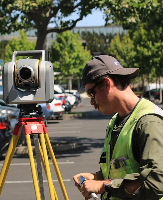
Geodesists are responsible for measuring and monitoring the exact size and shape of the earth along with the effects of geodynamic phenomena, such as tides. With modern technology, Geodesists keep track of exact coordinates on the planet’s surface.
Global positioning systems (GPS) allow a Geodesist to be with a centimeter of accuracy in their calculations. Opportunities are available to Geodesists across the country. However, given the nature of their work, most Geodesists are employed by the government.
Geographic Information Systems Analyst
GIS Analysts must be comfortable using the latest technology since high-tech computer software and hardware are essential to the job. They store, display, analyze, and map vital data. This information sets a framework that city planners, developers, and corporations use to solve problems and plan projects.
A GIS Analyst will start with a land survey and add different layers of data, each more detailed than the last, until they provide details on everything from the slope of the land and waterways to streetlights and fire hydrants.
Boundary Surveyor
Boundary Surveyors, also known as Cadastral Surveyors, use public records along with physical evidence to measure, mark, and map the boundary lines of land ownership. Some of the data used could date back hundreds of years.
A role that requires research and work in the field, Boundary Surveyors need mathematical knowledge as well as an understanding of laws regarding land ownership. When individuals or organizations dispute property lines, a Boundary Surveyor may need to settle the issue in court.
Photogrammetrist & Remote Systems Analyst
Some surveyors collect information about a site without going to it. When a location cannot be reached easily from the ground, or a large area must be surveyed quickly, you can call on a Photogrammetrist or Remote Systems Analyst. They use aerial photography and satellite imagery to collect data.
Photogrammetrists and Remote Systems Analysts are often called in for environmental accidents. For example, they can track the movement of pollutants in water and determine its impact along the coast.

Topographic/Hydrographic Surveyor
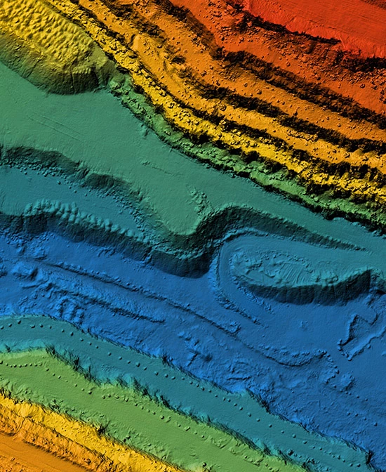
A Topographic Surveyor will provide the lay of the land by measuring and mapping the shape, contour, and location of land features. These features include both natural and manufactured objects, such as valleys, mountains, roads, and buildings.
Topographic surveying that occurs below the water is Hydrographic surveying. Hydrographic Surveyors use specialized equipment to gather information and create maps. They are essential for guiding dredging projects, exploring for oil, and marking underwater hazards. Government agencies, utility companies, and shipping companies rely on this type of surveying.

